
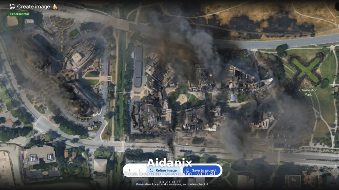
Google recently provided users with the ability to edit and modify satellite images on the Google Earth platform using artificial intelligence, but it immediately backtracked after facing a wave of manipulated images that demonstrated the high potential of this technology in spreading fake news.
Currently, numerous tools exist for the AI-driven generation and editing of city and building images. However, the integration of Google's generative image AI model, called Nano Banana, into Google Earth allowed users to manipulate real images of various locations on Earth with total ease—a feature Google had initially introduced with great fanfare as a major achievement.
Previously, Brian Horowitz, product manager at Google Earth, had written on the company’s official blog that users could, for the first time, merge satellite, aerial, and 3D imagery with the realistic conceptualizations of this AI. Nevertheless, the high risks of falsifying reality led to the project being nipped in the bud.